GPS and GIS are key components of daily life. GPS is a technology that helps in locating points around the world.
GIS is a computer program designed to make the data, collected from navigated systems like GPS, to capture it, analyze it, and interpret it.
It then makes the information available for us to use.
The development of technologies such as Global Positioning System (GPS) and Geographic Information Systems (GIS) data collection has become an easy task these days.
Also Read: Payroll Continuation Plan – Is Your Company ready post-Covid
The GPS and GIS interaction system is crucial for advanced business functions, which ultimately determines the success of a given outcome.
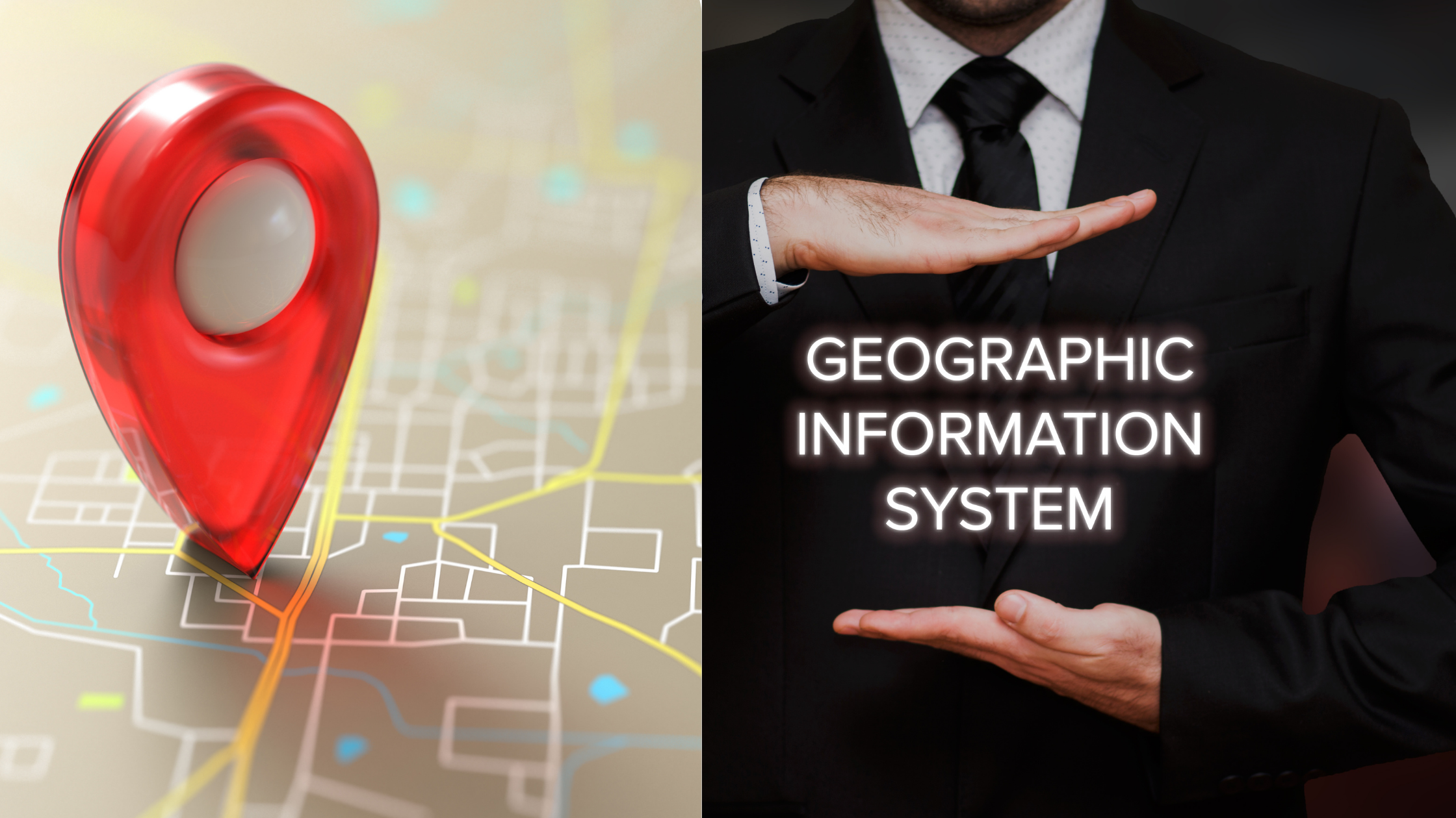
Since there is considerable confusion around GIS and GPS, this article provides clarity by defining the differences between the two, before describing where they are most commonly used.
GPS (Global Positioning System)
The Global Positioning System is a collection of at least 24 satellites that serve as the Global Navigation System.
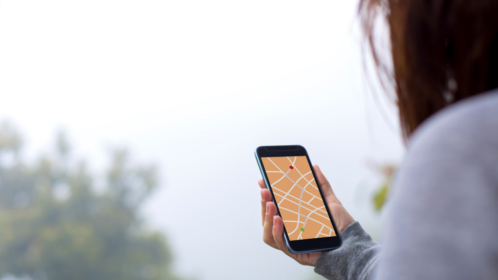
Provides location information anywhere in the world, GPS is especially useful for travel and mapping.
A GPS unit acts as a receiver that collects signals from satellites. They transmit signals to GPS receivers on the ground.
Recipients need a clear view of the sky, so they can only be used outdoors and do not work well in woods or near tall buildings.
Each GPS satellite has an atomic clock that sends a signal indicating its location and exact time. All GPS satellites transmit at the same moment.
As some satellites are farther than others, signals move at the speed of light and the GPS receiver receives at slightly different times.
The distance to GPS satellites can be calculated by estimating how long it will take for their signals to reach the receiver.
When the receiver estimates the distance to at least four GPS satellites, it can calculate its location in latitude, longitude, and altitude.
Applications of GPS
- Locating is the most common use of GPS. This applies to situations where you travel to an unknown destination and you need to find your way.
- GPS can help you locate each area in the area and also provide the best ways to get there.
- GPS time signals use highly accurate atomic clocks. This technology can be used for things like automatic updating of daylight saving time on cell phones.
- The device uses voice activation to describe the preferred route based on the receiver’s location, the destination location, and the street map.
- GPS can be used for emergency mapping. It estimates weather and travel information for first responders as well as significantly reduces response time. It is also useful to know the location of the staff.
- Prevent car and other automobile thefts: Cars are equipped with GPS trackers to help track the exact location of your car from time to time so that you can find it even if the car is stolen.
- Mapping and Surveying: Using GPS technology to survey locations and places on earth is not only cheap but also saves a lot of time. You can easily find locations on a map or highway.
- Tracking vehicle, person, pet, or aircraft: Recipients provide continuous tracking and may receive an alert if the receiver leaves the set area. Pets can be chipped so they can be found if they get lost
GIS (Geographic Information System)
GIS stands for Geographic Information System. GIS is a software program that enables people to use information collected from GPS satellites.
GIS is generally mistaken for GPS.
Although it operates on the same stratosphere, GIS is designed to analyze and interpret data collected by GPS and other devices.
Data designed to show samples of individuals and objects can make GIS information readily available for use.
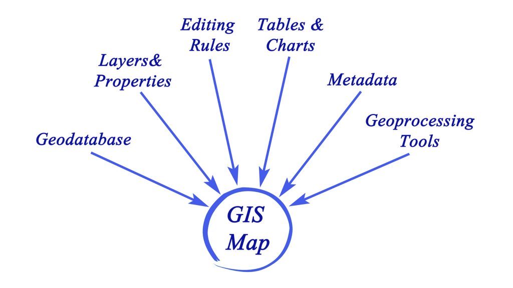
- GIS requires people, data, software, and hardware.
- Data in the GIS system is stored in a database called data sets.
- Data sets can be selected, combined, and displayed in layers
Key uses of GIS
- GIS can also indicate the relationship between two locations on the map, including the proximity of two spots.
- Location Analysis: The data collected and analyzed by the GIS system is used to determine the best location of other retail outlets or the new football pitch relative to other football fields.
- GIS is used by organizations such as City Councils, which require access to data and can combine different data sets.
- Geographic Information System technology is used by utility companies to create graphic representations of land and infrastructure with unlimited possibilities.
- Medical Experts can effectively map outbreaks when planning effective responses to crises. To understand how to solve specific health problems